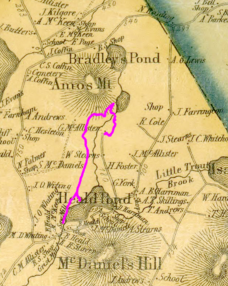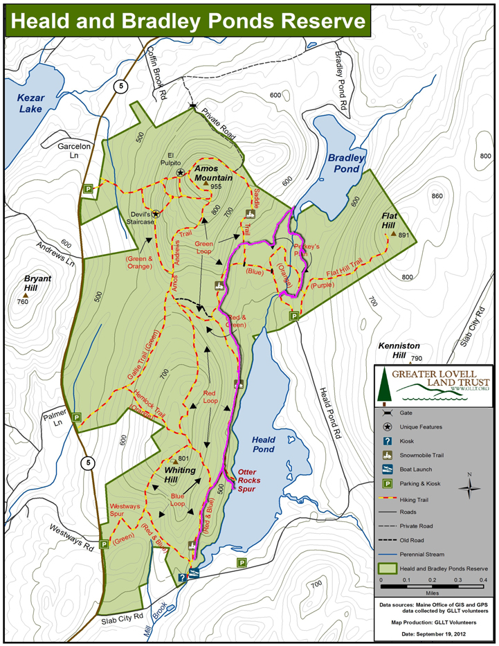
I superimposed our trail on this map by matching roads on the two maps. It looks like the cellar hole might be the G. McAllister homestead.
I wonder if the change in the shapes of Bradley and Heald Ponds is the result of beavers or man-made dams?? It also looks like there might be another cellar hole (or maybe house?) on or near the preserve (A. Andrews on below). Should check it out!